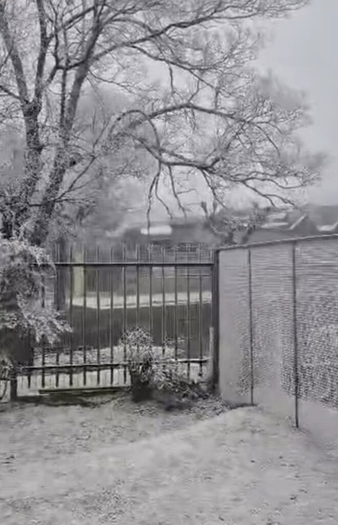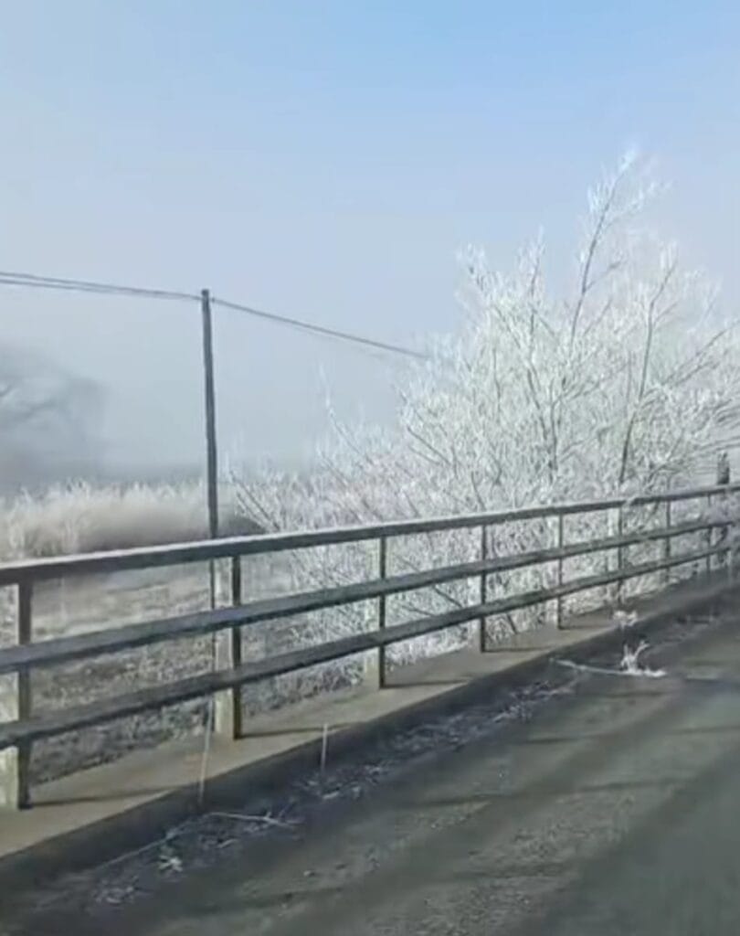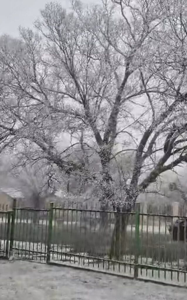
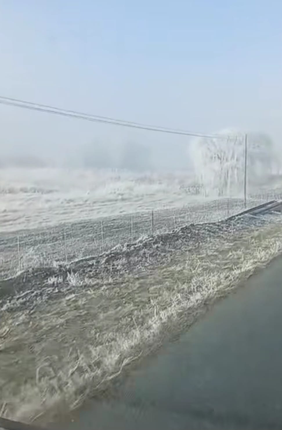
South Africans experienced a true taste of winter over the weekend as freezing overnight temperatures left parts of the country covered in a blanket of white frost. Residents across the Free State, Gauteng, Mpumalanga Highveld, Eastern Cape interior and parts of KwaZulu-Natal woke up on Saturday morning to frozen fields, icy rooftops and frost-covered vehicles after temperatures dropped below freezing in several areas.
Although it looked like snowfall in some locations, the white landscape was caused by widespread frost forming as overnight temperatures plunged below 0°C under clear skies. Morning fog also developed in several inland regions, reducing visibility for commuters before clearing later in the day.
The weekend remained largely dry across most of South Africa, with sunshine returning after the frosty start. Along the east coast, however, cloud cover increased with isolated showers affecting parts of KwaZulu-Natal. The South African Weather Service (SAWS) also maintained Yellow Level 2 warnings for damaging coastal winds and rough seas between KwaDukuza and Kosi Bay, where conditions posed risks to small vessels and harbour operations.Most of South Africa is expected to experience fine, dry winter weather over the next few days, although cold mornings, frost and patches of fog will remain a feature across several provinces, according to the latest outlook from the South African Weather Service (SAWS).
Across the central and eastern interior, temperatures will remain cold during the early mornings, with frost expected in parts of Gauteng, Mpumalanga, the Free State and other high-lying areas. Motorists are urged to take extra care where frost or fog reduces visibility.
The interior will generally remain sunny during the day, with cool to warm afternoon temperatures expected across Gauteng, Limpopo, North West and much of the Northern Cape. No widespread severe weather warnings have been issued at this stage.
Along the KwaZulu-Natal coast, partly cloudy conditions are forecast, with isolated light showers possible, particularly along the northern coastline. Fresh south-westerly winds may affect coastal areas before gradually easing.
The Western Cape is expected to remain mostly fine, although cloud is likely to increase over the south-western parts later in the day, with patches of fog developing in some areas during the evening. Coastal winds will generally remain light to moderate.
SAWS advises residents to continue dressing warmly during the mornings and evenings, while farmers and motorists in frost-prone regions should remain alert for icy conditions. The stable winter pattern is expected to continue for much of the week, with only isolated coastal rainfall anticipated.