Western Cape | A changing weather pattern is expected to develop across South Africa over the coming days as a new cold front approaches the Western Cape, while much of the country’s interior is forecast to remain warm, dry and stable under the influence of a strong high-pressure system.
The South African Weather Service (SAWS) indicates that Wednesday will continue with predominantly fine conditions across most provinces, although cold early mornings and cool nights remain a feature over the central interior. Frost is still possible over some high-lying areas of the Free State, Mpumalanga Highveld and the Eastern Cape interior before temperatures rise during the afternoon.
As the week progresses, weather models show the next Atlantic cold front moving towards the south-western coastline. The system is expected to reach the Western Cape towards the end of the working week, bringing widespread cloud, cooler temperatures and periods of rain to Cape Town and surrounding districts before spreading eastwards along parts of the southern coastline.
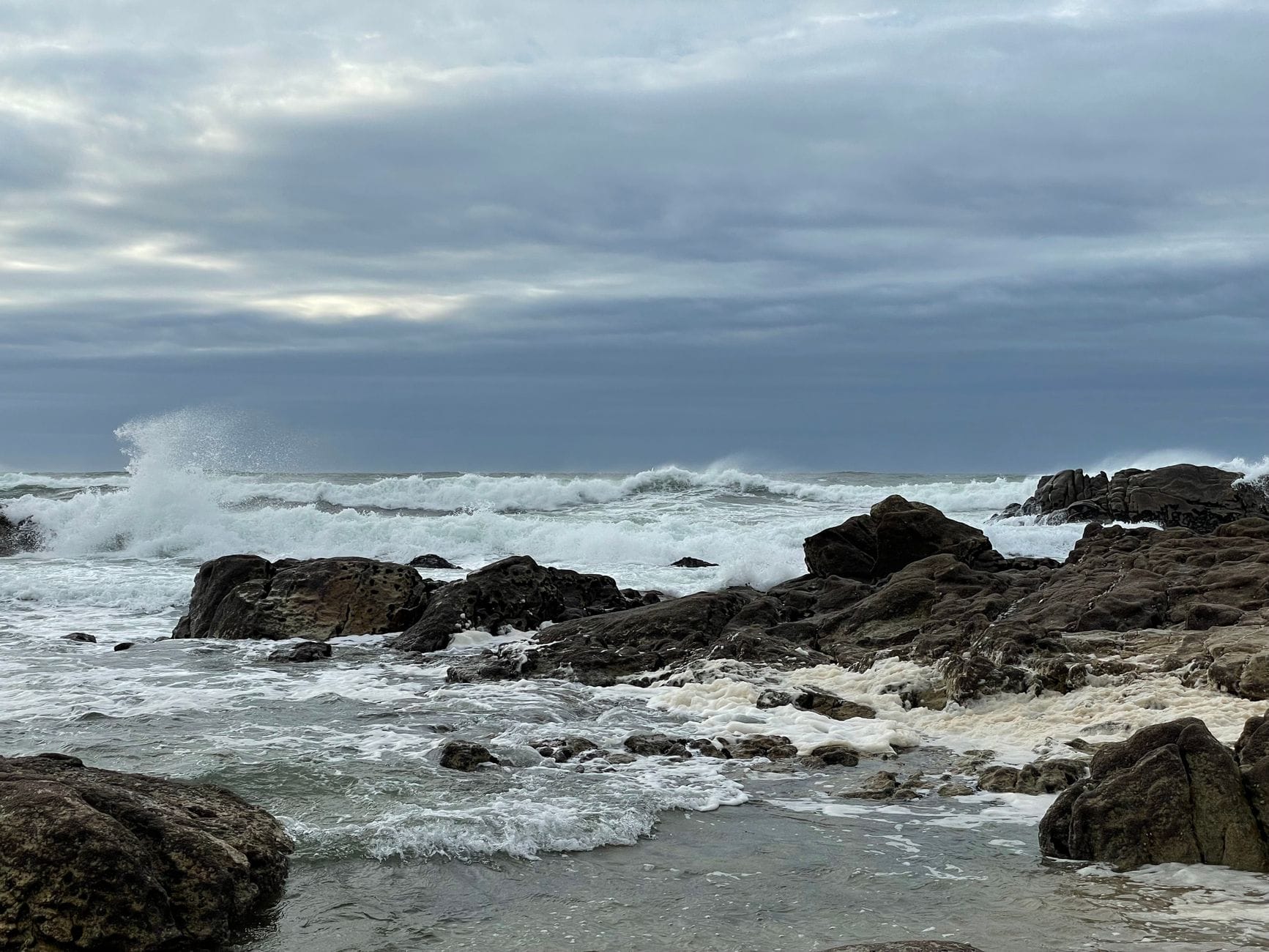
Residents in the Western Cape should prepare for a noticeable drop in daytime temperatures as fresh to strong north-westerly winds develop ahead of the front, followed by south-westerly winds after its passage. Localised moderate rainfall is possible over mountainous areas, while rough sea conditions are likely along sections of the coast, creating hazardous conditions for small vessels and fishing operations.
Away from the Cape, much of South Africa is expected to remain under generally settled winter conditions. Gauteng, Limpopo, North West, the Free State and large parts of Mpumalanga are forecast to experience sunny skies with cool mornings and pleasant afternoon temperatures. Overnight temperatures will remain cold enough for isolated frost in some inland regions, particularly where skies remain clear.
KwaZulu-Natal is expected to remain mostly fine through the remainder of the week, although coastal cloud may develop from time to time. Only isolated light showers are currently expected along the coast, with no widespread disruptive rainfall forecast.
The Northern Cape is likely to continue experiencing dry weather with cool mornings and mild to warm afternoons, while the Eastern Cape can expect generally fine conditions before cloud increases later in the week as the approaching frontal system moves eastwards.
Weekend Outlook
Looking ahead to the weekend, the cold front is expected to move across the southern parts of the country, bringing cooler conditions to the Western Cape and sections of the Southern Cape. Rainfall is expected to remain concentrated over the south-western and southern coastal regions, while the interior should stay mostly dry.
Fresh to strong winds may accompany the frontal system, particularly along the coastline, where rough seas and dangerous wave conditions could develop. Motorists travelling through mountain passes in the Western Cape are advised to remain alert for reduced visibility during periods of rain and low cloud.
Elsewhere across South Africa, winter sunshine is expected to dominate with cold mornings continuing over inland provinces. Temperatures are forecast to recover during the afternoons, providing generally pleasant conditions for most outdoor activities.
The South African Weather Service continues to monitor the approaching frontal system and advises residents to stay informed through official forecasts, particularly those living in the Western Cape where weather conditions can change rapidly as the front approaches.